
Helpful Lake Kabetogama Map PDFs
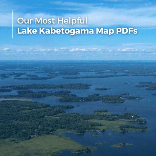
Fog hangs low over the water around 6:15 in the morning, and that is usually when first time visitors realize Lake Kabetogama is bigger and more complex than they expected. The shoreline twists into hidden bays, narrow channels, and rock points that all start to look the same after a few hours on the water. A phone map helps until service drops out near the western islands. Printed PDFs still matter up here.
The right map changes the trip completely. Some are best for campsite planning inside Voyageurs National Park. Others help anglers avoid shallow rock shelves near Tom Cod Bay or find navigation markers before heading toward Rainy Lake.
Here are the Lake Kabetogama map PDFs worth downloading before arriving.
The Best PDF for Planning Campsites and Day Stops
The most practical starting point is the Voyageurs National Park campsite map PDF:
Voyageurs National Park Campsite Map
This map works best for people staying several days and moving around by boat. It lays out campsite locations, visitor areas, houseboat routes, and key water access points around Kabetogama, Namakan, Rainy, and Sand Point Lakes.
DYK? Any open campsite, midday, is open for day use! A picnic table, fire ring and many campsites offer a dock to moor your boat too.
A detail many visitors miss is how spread out the park really is. Running from the Kabetogama Visitor Center to campsites near the western islands can take far longer than expected when afternoon wind picks up. A route that looks short on a phone screen often turns into a 45 minute boat ride.
Families usually appreciate the campsites near protected coves east of the Kabetogama Visitor Center. Water tends to stay calmer there during summer afternoons, especially in July when southwest winds build across open water.
One common mistake is booking a remote campsite without checking fuel distance first. Fuel docks are limited once you leave the main Kabetogama area.
The Map Most Boaters Keep Folded in the Console
For actual navigation on the lake, this is the one locals still print:
National Geographic Voyageurs Area Map PDF
This map gives a much broader picture of the region. It covers routes between Kabetogama, Namakan, Crane Lake, and Rainy Lake, along with portages, landmarks, and navigation references boaters use throughout the park.
The western side of Kabetogama has several rock hazards that sit just below the surface during normal summer water levels. Most are marked, but not all markers stay visible after storms or rough weekends with heavy boat traffic.
A useful local habit is matching island shapes on the shoreline to the map instead of relying only on GPS. Dense tree cover and narrow channels can make electronic navigation feel confusing for first time visitors.
Couples doing slower sightseeing trips often use this map differently than anglers. Instead of running long distances, they circle smaller sections of shoreline near Sullivan Bay, the Chief Woodenfrog area, or Lost Bay, stopping for short hikes and quiet beaches.
The Overlooked Forest Map That Helps More Than People Expect
Many visitors focus only on the lake itself and forget how much land surrounds it.
Kabetogama State Forest PDF Map
This map becomes valuable once people start exploring beyond the docks and resorts. It shows forest roads, access routes, trails, and public land areas surrounding the lake.
During fall color season, this map helps drivers avoid wasting time on dead end logging roads. Some roads shown online are rough seasonal routes with washouts or deep mud after September rain.
Hunters and late season visitors use this map heavily in October. It is also useful for travelers pulling campers or boat trailers who want easier access roads instead of narrow back routes.
One detail tourists rarely realize is how quickly conditions change after sunset in the forested areas north of the lake. Cell service weakens fast, especially once snow starts arriving in late November.
The Most Useful PDF for Fishing Structure and Water Depth
Anglers usually end up relying on this map more than any other:
This DNR lake map shows depth contours, structure areas, reefs, and underwater points that matter for navigation and fishing.
The lake has broad shallow shelves mixed with sudden drop offs. Around areas like Sugar Bush Island and Tom Cod Bay, depth changes happen fast. A calm morning can make submerged rock areas nearly invisible.
A smart move for first time anglers is highlighting two or three smaller zones instead of trying to fish the entire lake in one day. Kabetogama covers a huge area, and long runs eat up more time than people expect.
Walleye anglers usually focus on mid lake structure during early summer. By August, many shift toward deeper edges and shaded shoreline breaks during hot afternoons.
Quick Ways To Use These PDFs Before Arrival
- Download all four maps offline before reaching the lake
- Print at least one paper copy for the boat
- Mark fuel locations before long runs west
- Screenshot boat launch locations in advance
- Keep the depth map separate from the campsite map to avoid confusion on the water
Safe Navigation on Lake Kabetogama
Boating through Voyageurs National Park is an unforgettable experience, but it is important to remember that Lake Kabetogama is a rugged wilderness lake with rock reefs, narrow channels, and shallow areas that can appear quickly. One of the most important navigation rules to understand is “red right return,” meaning you should keep the red buoys on your right side when returning from open water. Following the marked channels is critical for safely navigating the lake, especially for first time visitors. Even experienced boaters rely on detailed maps and GPS tools to avoid hidden hazards. Our preferred navigation tool is the Navionics app, which allows you to download offline lake maps directly to your phone before heading out on the water. Taking the time to learn the lake and follow navigation markers helps ensure a safe and relaxing day exploring Voyageurs.
Questions Travelers Ask About Lake Kabetogama Map PDFs
Can You Use Google Maps On Lake Kabetogama?
Sometimes, but coverage becomes unreliable in parts of Voyageurs National Park. Offline PDFs work far better once you are out on the water.
Which Lake Kabetogama Map Is Best For Fishing?
The DNR depth map PDF is the most useful for fishing structure, contour breaks, reefs, and navigation hazards.
Tip: NLRO offers the Fishing Hotspots maps for sale and a loaner map with all rentals too!
Are Printed Maps Still Necessary In Voyageurs National Park?
Yes. Wind, rain, battery drain, and weak signal coverage make paper maps surprisingly useful, especially for boaters spending full days away from resorts.
What Is The Best Map For First Time Visitors?
The Voyageurs National Park campsite map gives the clearest overall layout for understanding how the lakes connect and where major access points are located.
Why do I need to know the water flow for safe boating?
The navigational buoys are key when it comes to exploring Voyageurs National Park chain of lakes both swiftly and safely. To avoid the unmarked rocks, ensure you know the flow before you go. Our Lake Kabetogama water “flows north” into Namakan and Rainy lakes.
The maritime slang is helpful: “Red, Right, Return.” And as they say, “a picture paints a thousand words.” Refer to this helpful map that depicts our water flow to ensure a safe and fun boating trip! We’ve dedicated a full article to navigating VNP.
Do Houseboat Renters Need Separate Navigation Maps?
Usually yes. Most renters carry both a navigation map and a campsite map. The broader National Geographic map helps with route planning between lakes and fuel stops.
Before You Head Out On The Water
Travelers staying near the southeastern side of Lake Kabetogama usually need less map detail during short weekend trips. Once plans include island camping, long fishing runs, or exploring toward Namakan Lake, carrying multiple PDFs becomes much more important.
Late June through early September brings the busiest boat traffic. That is also when navigation markers are easiest to spot and resort services stay fully open. By late fall, fewer docks operate daily, daylight disappears earlier, and backup navigation matters a lot more.
Print the maps before leaving home. Most people who wait until arrival end up searching for decent internet instead of spending time on the lake.